
Bay of Bengal Depression: Bay of Bengal Depression Intensifies, Andhra Coast Braces for Heavy Rain
The depression over the Bay of Bengal is moving toward the Andhra Odisha coast and is expected to strengthen further, bringing heavy rain and gusty winds across coastal districts.
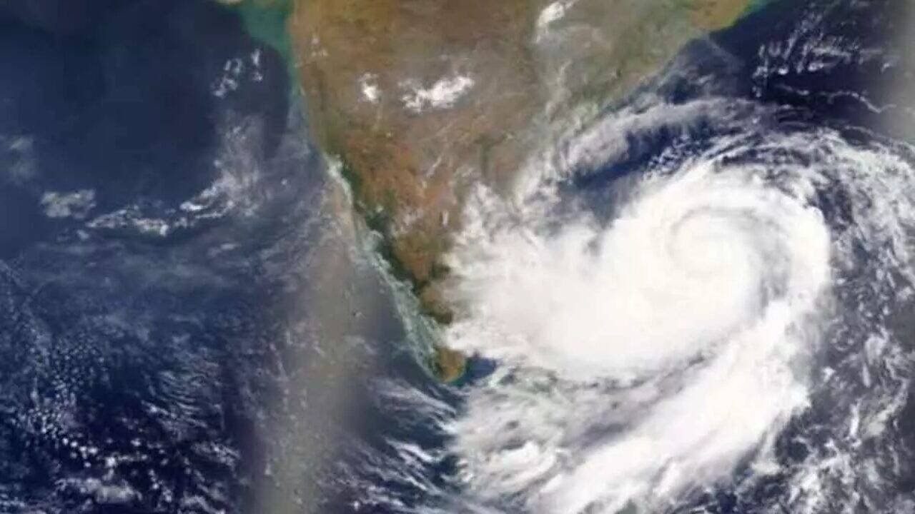
Bay of Bengal Depression: Weather conditions are likely to turn more active along the Andhra Pradesh and Odisha coasts as a depression over the Bay of Bengal continues to move west northwestwards. The India Meteorological Department has forecast further strengthening of the system, with a possibility of it becoming a deep depression during the next 24 hours.
The weather system was located over the west central and adjoining northwest Bay of Bengal on Monday evening. At that time, it was around 310 km southeast of Puri, 310 km east southeast of Gopalpur in Odisha, 390 km east southeast of Kalingapatnam in Andhra Pradesh and about 470 km east of Visakhapatnam.
According to the latest forecast, the system is expected to continue moving toward the west northwest. The IMD has said it is very likely to intensify into a deep depression over the west central and adjoining northwest Bay of Bengal. It is then expected to approach the north Andhra Pradesh and south Odisha coast.
The likely crossing area is between Visakhapatnam and Gopalpur. The current forecast indicates that the system could cross the coast during the night of September 23 and the early hours of September 24 as a deep depression.
The developing system is already influencing weather conditions along parts of coastal Andhra Pradesh. Several districts are expected to experience moderate to heavy rainfall as the system moves closer to the coast. Gusty winds may also accompany the rain, particularly in areas closer to the weather system.
Srikakulam, Vizianagaram, Visakhapatnam and other coastal areas are likely to remain under close watch as the system advances. The impact may extend farther south along the coast, with rainfall activity expected in several districts. People living in low lying and vulnerable areas have been advised to remain alert and follow official weather updates.
The sea is also expected to become rough to very rough in areas closer to the system. The IMD has reported strong winds over parts of the Bay of Bengal, along with widespread rain and thunderstorms. Conditions may become more difficult for fishing and other marine activities as the depression strengthens.
The system is being closely monitored because of its expected movement toward the north Andhra Pradesh and south Odisha coast. Odisha authorities have already started preparedness measures in areas likely to be affected by heavy rain and strong winds.
There is also an important distinction in the current forecast. The system is expected to strengthen into a deep depression, but the IMD has indicated that it is unlikely to develop into a cyclonic storm before crossing the coast.
For Andhra Pradesh, the immediate concern is the possibility of heavy rainfall and strong winds over coastal districts. Rainfall could intensify as the system comes closer to the shoreline. Local administrations are expected to keep vulnerable locations under observation and take precautionary measures wherever necessary.
Residents are advised to avoid unnecessary travel during periods of intense rainfall and to stay away from flooded roads, streams and other vulnerable locations. Fishermen and people involved in marine activities should follow official warnings regarding sea conditions.
The weather system is expected to move closer to the coast over the next couple of days. Its exact intensity and impact will depend on how quickly it strengthens and the path it follows before crossing between Visakhapatnam and Gopalpur.
With the system expected to cross during the night of September 23 and early September 24, coastal Andhra Pradesh and southern Odisha are likely to remain under close weather observation through this period.