
Deep Depression Strengthens Heavy Rain Likely Across Telangana for Three Days
A deep depression over the Bay of Bengal is expected to bring widespread rainfall across Telangana for the next three days offering relief to farmers after prolonged dry conditions.
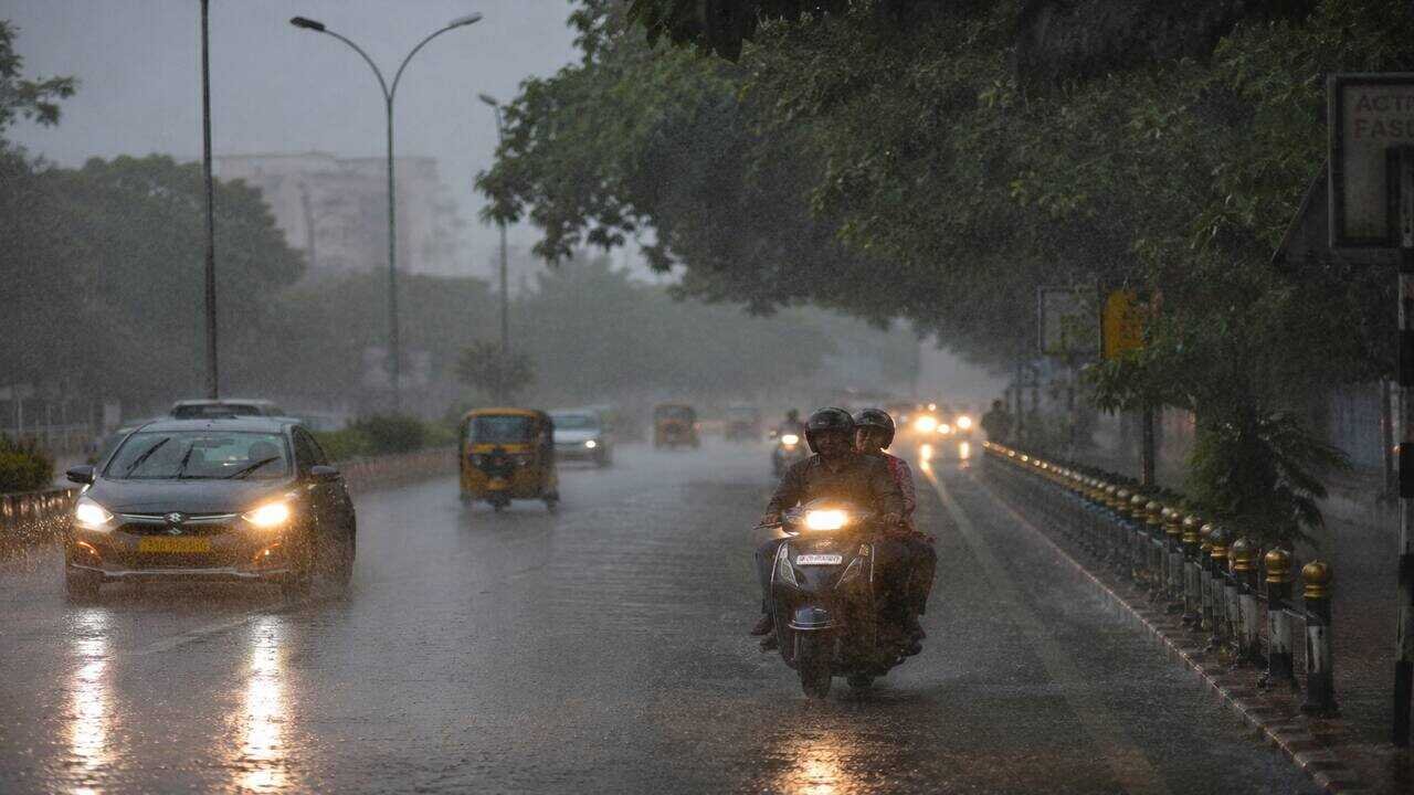
A deep depression that developed over the Bay of Bengal is expected to trigger widespread rainfall across Telangana over the next three days, according to the Hyderabad Meteorological Centre. The weather system has strengthened the southwest monsoon, increasing the chances of moderate to heavy showers in several districts.
Many parts of the state have already received significant rainfall over the past two days. Sangareddy recorded the highest rainfall at 7.2 centimetres, followed by Kamareddy with 6.9 centimetres and Vikarabad with 6.4 centimetres. Weather officials have advised residents to remain alert as more rain is likely in the coming days.
The forecast has brought fresh hope to farmers who have been struggling because of a prolonged rainfall deficit this season. With the possibility of continued showers, many farmers are preparing to resume cultivation activities after weeks of uncertainty. Telangana has experienced below normal rainfall this year due to the impact of El Nino, leaving nearly 26 districts facing drought like conditions. Rainfall during June and July has remained around 10 centimetres below normal.
Meanwhile, rainfall in upstream states has improved water availability in the Krishna river basin. The Almatti and Narayanpur reservoirs in Karnataka are receiving healthy inflows. As of Monday, the Jurala Project was receiving an inflow of about 24000 cusecs. However, inflows into the Srisailam Dam remained low at 163 cusecs, while the Nagarjuna Sagar Project recorded around 4070 cusecs.
The Godavari basin has also witnessed an improvement in water levels. Heavy rainfall around Nashik in Maharashtra has increased inflows into the Jayakwadi Project, which is currently receiving more than 63618 cusecs. Officials continue to monitor reservoir levels as the weather system moves further inland.